Geographic Information Systems: Modernizing the Permitting Process
Across Canada, communities face pressure to do more with less. Municipalities need faster housing approvals, and First Nations seek economic independence and better land stewardship. Traditional permitting is slow, paper-heavy, and siloed, but GIS changes the game.
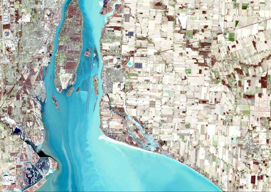
GIS enables communities to visualize land and data together, overlay map layers, build custom dashboards, and automate workflows. Our team has configured GIS-enabled permitting systems using ESRI and Microsoft tools, reducing complexity and improving transparency.
Features include public access to interactive land viewers, digital applications via Survey123, automated data population, internal dashboards, field data collection, and streamlined approvals with Power Automate.
See how we helped the Village of Cumberland create an online development application portal.


