The Plan establishes planning boundaries at different scales- from entire watersheds, down to specific lakes and rivers. Each planning area is designed to ensure the enhanced management of different aspects of Ke̱ Maah.
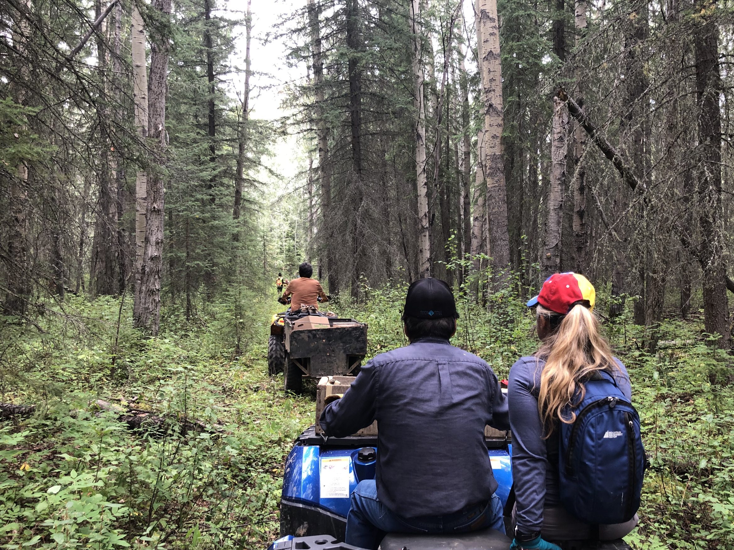
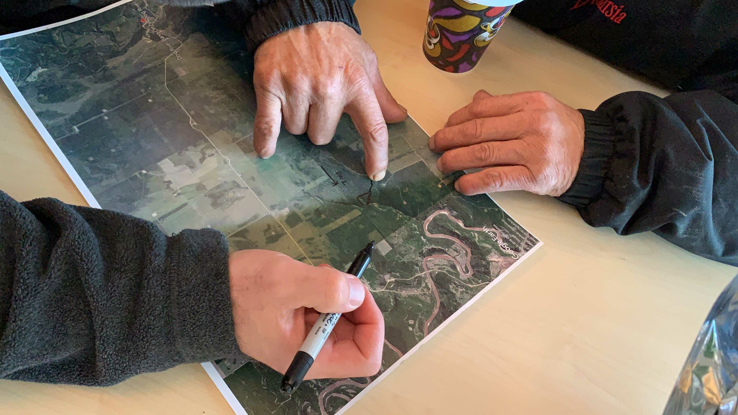
Off-reserve land use planning requires working with data that demonstrates the fullest extent of the Nation’s connection to the land, as indicated by the trail network that was mapped throughout the planning process. As an additional outcome, the team re-cut and re-opened certain key trails to help enable members to spend more time on the land, maintain visibility throughout the territory, and to help implement the Plan.
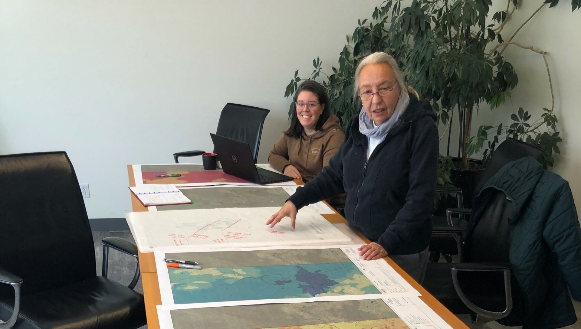
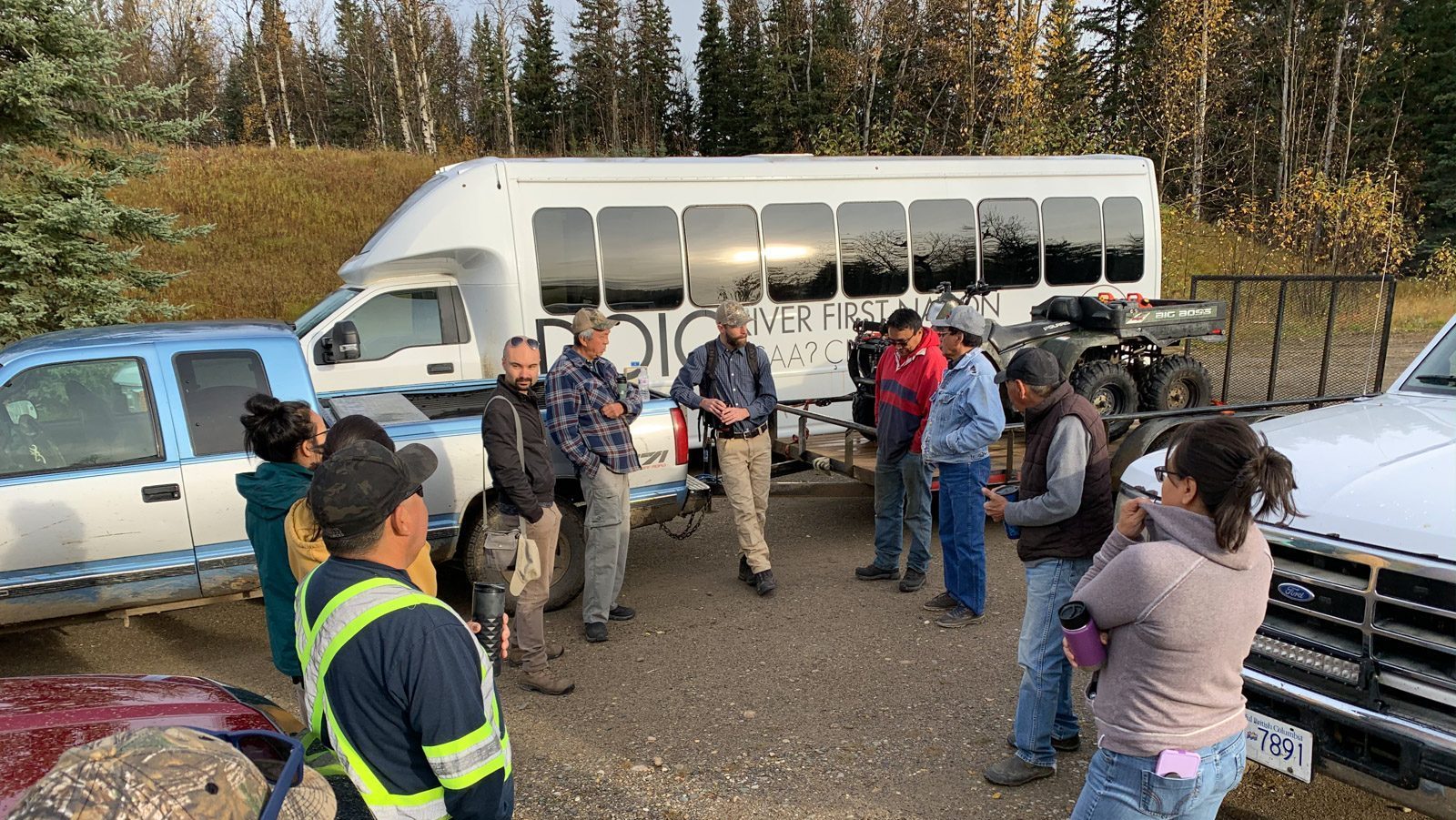
Members, land users, elders, leadership, staff, and technical support were engaged in large and small-group formats, leveraging Indigenous Knowledge and Western Science perspectives from different generations, family groups and subject matter experts.
MEET THE TEAM

Land and Community Planner

Strategic Planner