


Territory-wide Land Use Planning
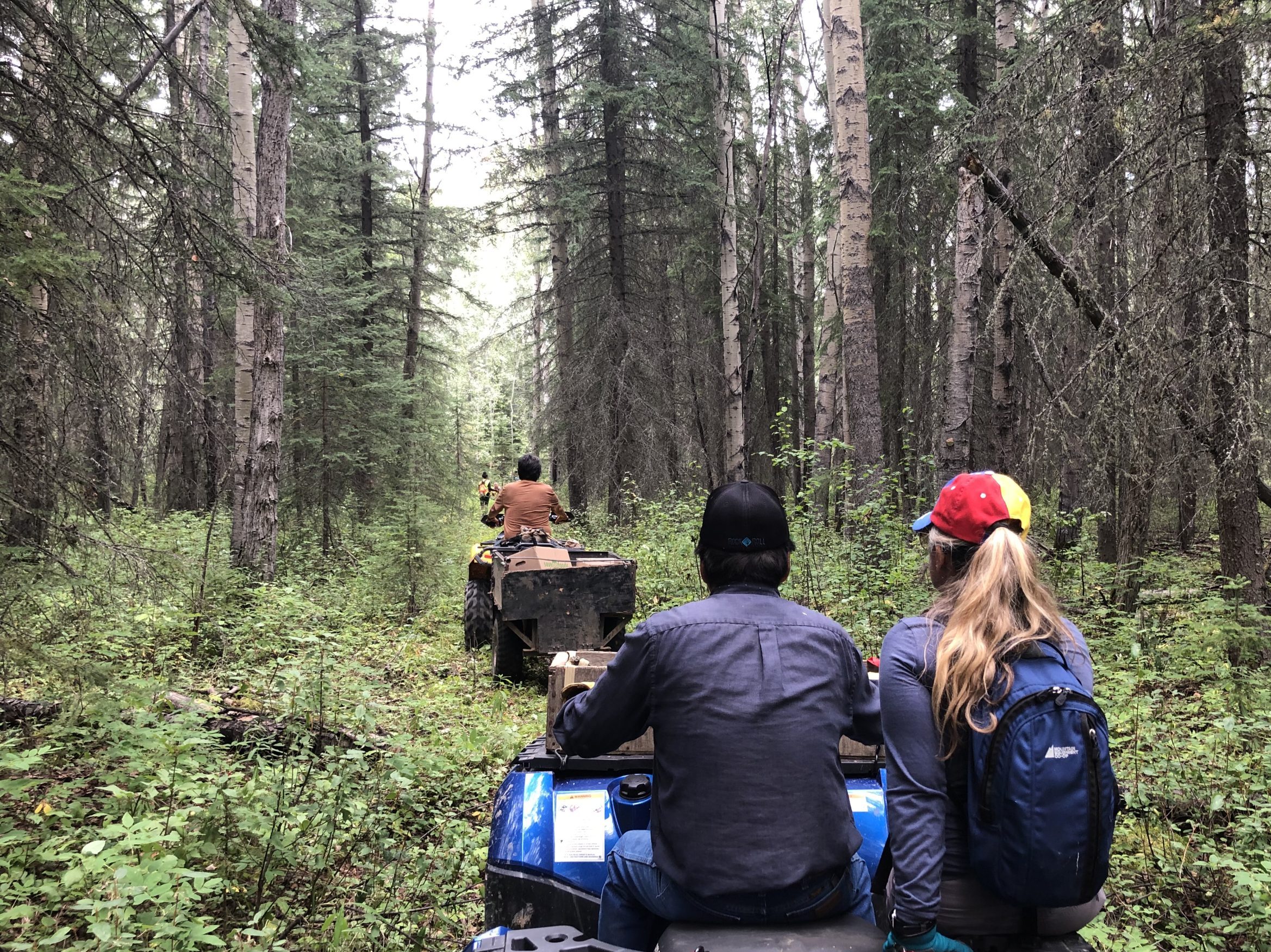
A Nation-led plan for addressing the cumulative impact of development across the region and to protect key cultural and ecological areas critical for supporting the Dene-zaa way of life while fostering community prosperity. This regional-scale plan is based on cultural studies, mapped cultural sites and use areas, habitat and cumulative effects modeling, industrial tenures and many rounds of community engagement. The Dene-zaa concept of Ke̱ Maah, a term that means a good place in nature, was used to help establish the direction of the Plan, and the vital components of the territory that are necessary to support Dene-zaa livelihoods. The plan establishes a vision, foundational goals and management objectives for different planning areas, and provides clear, zone-based and sector-based policy directives for stewarding the traditional territory back to a healthy baseline condition. It will serve as the basis for decision-making on land and resource use throughout Doig’s territory.
GIS Day 2025: Supporting Communities with the Help of GIS
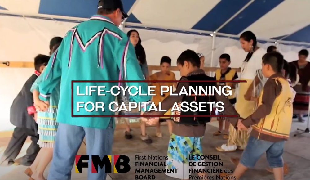
Life-cycle Planning for Capital Assets
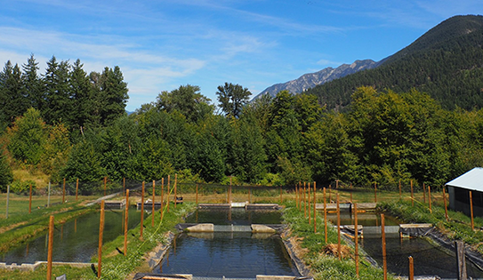
N’Quatqua First Nation Hatches Plan for Food Security
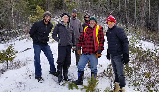
Kanaka Bar Indian Band
First Nations Navigators Lead Community Planning

Helping Winnipeg Prepare to Reach One Million in Population