Our transportation team improved both the east and west sides of the development to accommodate building and planning for the new road access into the community and make the whole project feasible. This project was a contestant for the CEA award for the Transportation Infrastructure category.
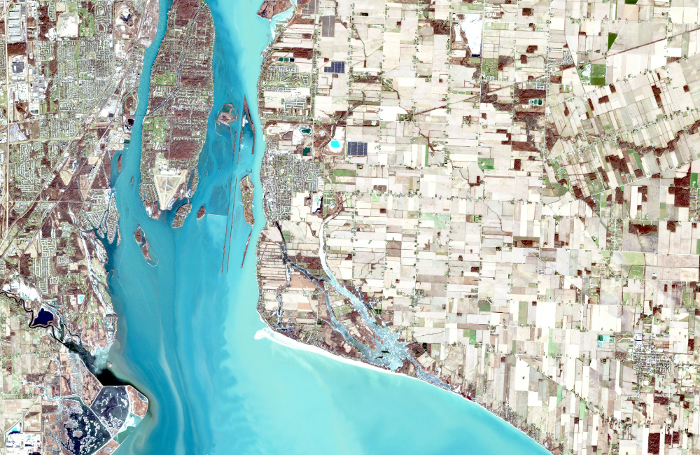
Our geomatics team completed the topographic survey of the lands and surrounding roadways (including GPS survey of a large span of undulating hills, and a 3D lidar scan of the Trans-Canada Highway and Sarcee Trail).They also led the subdivision of land, including coordination with the City of Calgary for approvals, endorsement, and registration at Land Titles, along with subsequent residential condominium plans, and commercial strata plans.
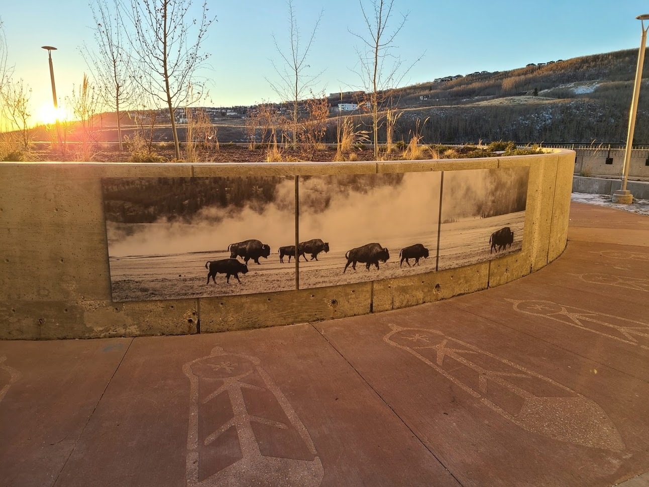
Landscape design incorporates circular patterns, vertical focal elements within roundabouts, and thoughtful planting and animal pattern placement inspired by the natural beauty of the landscape, Blackfoot heritage and the location of the Paskapoo slopes.
Geomatics
The Geomatics Practice Team combines the arts of spatial measurement, mapping and legal surveying with the latest technology to provide expert advice and reliable data. For almost forty years we have been providing civil engineering and field services to municipalities, First Nation communities, land developers, and private industry including industrial, commercial and resource-based firms.
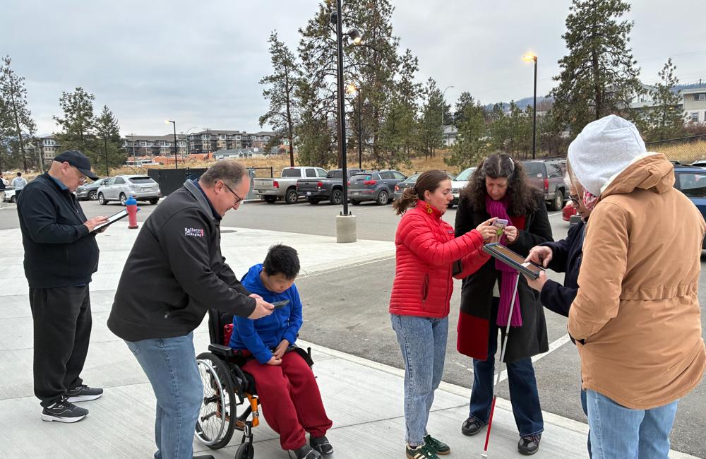
MEET THE TEAM

Senior Professional Land Surveyor

Transportation Engineer

Senior Landscape Architect

Project Engineer

Senior Technologist